
Scafell Pike Corridor Route Walk: Route Guide + Map

At 978 metres above sea level, Scafell Pike is the highest mountain in England. And as you would expect from such a title, thousands flock to the mountain each year in a bid to conquer it.
There are several routes that will take you up to Scafell Pike. Most walkers start from Wasdale, where a short climb will have you to the summit and back within three or four hours. It’s by far the steepest way to the top, though; more of an uphill slog, with little of the charm and beauty of the other routes.
In my opinion, the circular Scafell Pike Corridor Route from Seathwaite is the best option. This trail starts at Seathwaite Farm and ascends along Styhead Gill, before passing Styhead Tarn and traversing a series of small scrambles and ravines before the final push to the rocky summit. The return trail runs alongside Ruddy & Grains Gills, where a stream has cut a small canyon, creating a series of pretty waterfalls.
The views on the Scafell Pike Corridor Route change regularly, providing an interesting and rewarding trail to the summit. It’s easily one of the best walks in the Lake District; a long hike showcasing soaring valleys, deep ravines, remote tarns, and meandering streams.

Quick logistics
Start/Finish: Seathwaite.
How to get there: Seathwaite is a 20-minute drive from the popular Lake District town of Keswick. There is a fair amount of roadside parking at Seathwaite, right by the start of the trail at Seathwaite Farm Camping, although it can get full during busy periods. You can also take the 78 bus from Keswick to Seatoller, then it’s a 25-minute walk to Seathwaite.
Distance: 9.5 miles (15.3 km).
Time: 6.5 – 7 hours.
Elevation gain: 1,032 metres.
Difficulty: Challenging; this is a long walk with a few steep sections and some scrambling. The scrambles are not difficult, although the ‘Bad Step’ may be tricky for those with a fear of heights.
Scafell Pike Corridor Route map
There are a few sections on the route where it’s easy to get a little lost. On top of this, Scafell Pike can get misty near the summit, which makes it hard to see where you’re going. I recommend downloading the map to your phone for easier navigation.
How to get to the trailhead
The Scafell Pike Corridor Route starts at Seathwaite Farm in Borrowdale.
If you’re driving, head towards Borrowdale and follow the signs for Seathwaite. There’s free roadside parking near Seathwaite Farm (just before the start of the trail), but it fills up quickly on weekends and during summer. In good weather, it can be full before 8am.
There’s also paid parking available at Seathwaite Farm itself, right at the start of the trail. It’s usually possible to find a space here. Payment is via an honesty box and costs £5 per car for the day, so be sure to bring cash for this.
If you’re coming by public transport, you can take the 78 bus from Keswick and get off at Seatoller. From there, it’s roughly a 25-minute walk along the road to Seathwaite. Buses are limited outside of peak season, so I would check the timetable in advance.
Step-by-step route breakdown
Walking the Scafell Pike Corridor Route is a serious undertaking and will take the whole day. Allow roughly 3.5 hours to reach the summit, and 3 hours to get back. On top of this, tackling over 1,000 metres of elevation gain is tiring, so you’ll likely want to stop for a few breaks. I would allow 6.5 – 7 hours in total.
1) Start at Seathwaite Farm
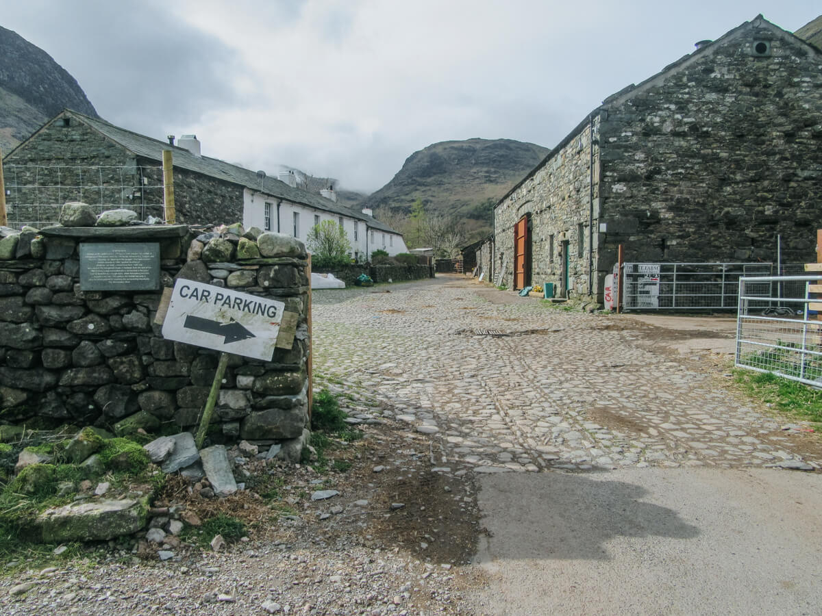
Begin your walk at Seathwaite Farm. Walk through the farmyard and out the other side, where you’ll see a signpost. Head straight through the gate towards Styhead.
It can feel slightly odd walking through a working farm, but you’re in the right place.
2) Follow Styhead Gill
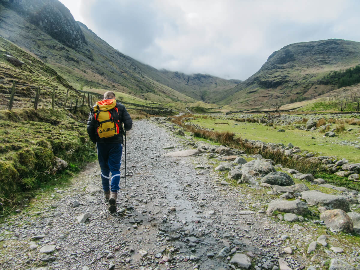
Keep the stream (Styhead Gill) on your right until you reach a stone bridge. Cross the bridge, go through the gate and, ignoring the path that goes to the left, take the path ahead that starts to ascend steadily uphill.
Keep following the trail along Styhead Gill, which will now be on your left since passing through the gate. The route is not too steep at this point, so enjoy the beautiful, rugged scenery.
3) Reach Styhead Tarn
At the top of Styhead Gill, you’ll arrive at Styhead Tarn. Pass the tarn with the water on your left and continue towards the top of the pass.

4) the Styhead Pass Crossroads
At the top of the pass, you’ll come to a crossroads, which has links to Borrowdale, Wasdale and Eskdale. It’s easy to get confused here (like we did), so make sure to choose the correct path.
Once in the middle of the crossroads, you should spot a grassy path slightly to your left that descends down the hillside a little way. This is the path you want and is the start of the Scafell Pike Corridor Route itself. There is also a path that goes directly upwards to your left — we initially assumed this to be the right one, but it isn’t.
After descending slightly to cross Skew Gill, you’ll scramble up a rocky section to regain height. It’s nothing too difficult, but you will need to use your hands in places. Continue following the path upwards; it’s a little steep here, so be sure to pace yourself.

5) Tackle “Bad Step”
You’ll then come to what’s known as “Bad Step”, which is a more challenging scramble that goes about 25 feet down the side of the mountain. Bad Step is not particularly dangerous or difficult, but it can feel quite exposed if you’re nervous with heights (like me). There’s no need to rush, so take it slow and steady.

6) Traverse the ravine
After Bad Step, the trail continues past a dramatic ravine. Continue following the trail upwards with the ravine to your right. You’ll notice that the terrain becomes very rocky, and you’ll need to navigate a path almost covered with boulders.

7) Join the Wasdale route for the final ascent
Eventually, the Corridor Route joins the main path coming up from Wasdale. From here, you’ll notice a significant increase in walkers, as the ascent from Wasdale is the most popular way to climb Scafell Pike.
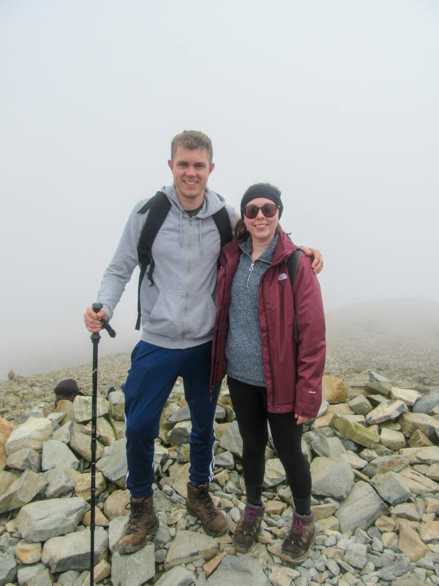
The final 15 minutes to the summit are steep, rocky, and often busy. In misty conditions, the summit can be disorientating, but simply following the flow of walkers will guide you to the top.
At 978 metres, you’re standing at the highest point in England.
8) Over Broad Crag and Ill Crag
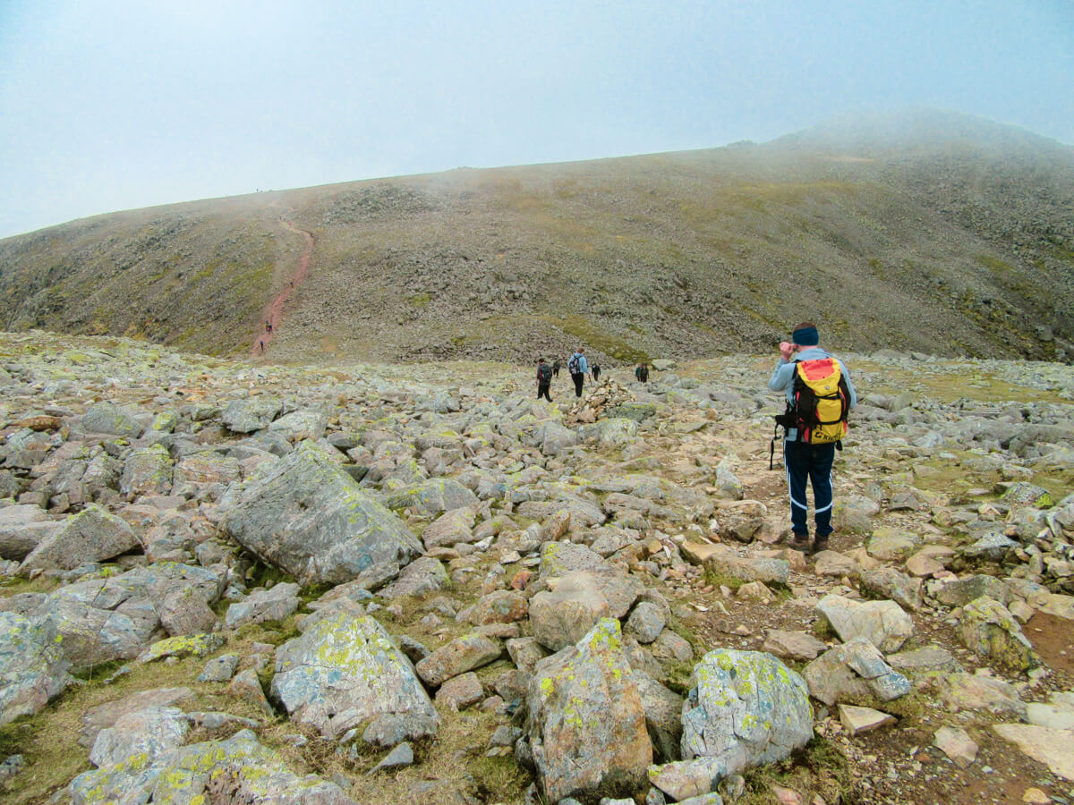
Leave the summit heading northeast. The trail drops steeply before climbing again to Broad Crag. It then descends and rises once more to Ill Crag before eventually levelling out.
It’s a bit up and down for a while, but once over Ill Crag, it’s all plain sailing from there!
9) Descend towards Ruddy Gill
Follow the obvious path off from Ill Crag. It’s flat ground for a while, which I appreciated after the steep descent down Scafell Pike. The path will take you towards a stream called Ruddy Gill. Look out for a left turn that takes you onto a path that descends gently with Ruddy Gill on your left.
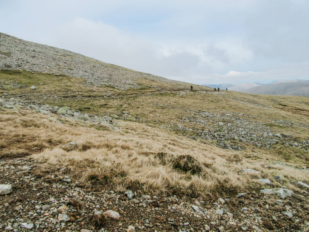
10) Follow Ruddy Gill
Ruddy Gill will now accompany you on your left as you descend into the valley back into the direction of Seathwaite. On a clear day, you should be able to see Derwentwater and Skiddaw in the distance.
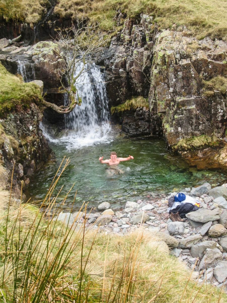
Around 45 minutes from the end, you’ll come across a small waterfall cascading into a natural pool. It’s an ideal wild swimming spot if you fancy a cold plunge. I’m not a fan of water, but my brother took the opportunity for a dip!
11) Return to Seathwaite
From the wild swimming spot, continue following Ruddy Gill for roughly another 30 minutes. The trail crosses a bridge and leads to a gate you should recognise from the start of the walk.
Pass through the gate and retrace your steps back to Seathwaite Farm.

More Lake District inspiration


PLANNING
Where To Stay In The Lake District
Compare Keswick, Ambleside, Grasmere, Borrowdale, and more.

WALKS
Four-Day Lake District Itinerary
A four-day hiking itinerary, based in Keswick and the northern Lakes.
WALKS
A challenging but non-scrambly route up Helvellyn, England’s third-highest mountain.
WALKS
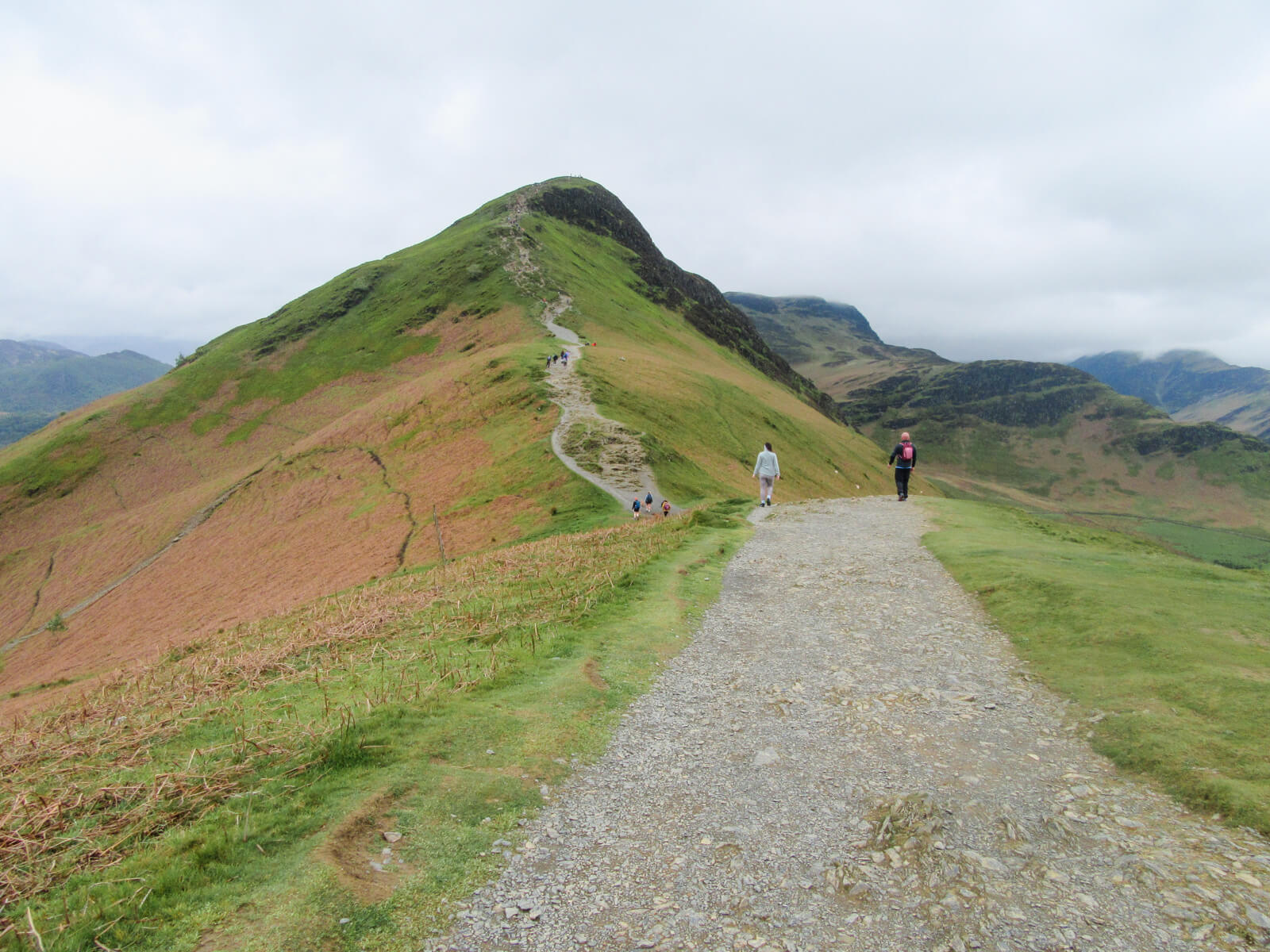
A short but punchy fell that has earned its place as a classic Lake District walk.
- Check out my roundup of the very best walks in the Lake District.
- Trying to decide where to stay? Here’s my guide on choosing where to base yourself in the Lakes.
- Try my four-day Lake District itinerary, focused on hiking and based in Keswick.
- My guide on hiking Helvellyn from Thirlmere, avoiding Striding Edge.
- My guide for hiking Catbells.
⛰️ Want even more? Visit my Lake District Hub to browse all my walking guides and planning tips.
Thank you for reading! If you found this post useful, I’d be grateful if you would consider using the affiliate links below when planning your travels. I’ll make a small commission at no extra cost to you. This will help me to keep this blog running. Thanks for your support — Lauren.
Accommodation – Booking.com
Flights – Booking.com
Travel insurance – World Nomads
Excursions & tours – Viator
Outdoor gear – Decathlon
eSIMs – Airalo
Alternatively, you could buy me a coffee to say thanks!


About The Author
Lauren Pears is a freelance travel writer and blogger who writes about active adventure travel. She’s been blogging for almost 10 years, and has written for publications such as Lonely Planet, World Nomads, and Southeast Asia Backpacker.



We (daughter, son-in-law and I) followed Lauren’s route on Saturday 11 May and apart from being a bit unsure at the crossroads past Styhead Tarn, found it quite straight forward to follow.
The scenery is absolutely stunning and well worth the effort. We’re all inexperienced walkers, but so pleased we made the effort. Highly recommended.
I’m glad to hear you enjoyed the walk Chris!
As someone who hates heights, I would suggest going the opposite way round when taking the corridor route and turning left at the stone bridge rather than carrying on. This way, the two scrambles (the summit and bad step) require you to climb up rather than down. Not only does this mean you don’t have to continually look down, it’s one less thing to think about. Scrambling is safer going up as it’s easier to see hand and foot holds, so it gives someone one less thing to worry about!
Thanks for the advice Rachel! Definitely good for acrophobes to know this 🙂