Grand Balcon Nord Hike: Plan de l’Aiguille to Montenvers
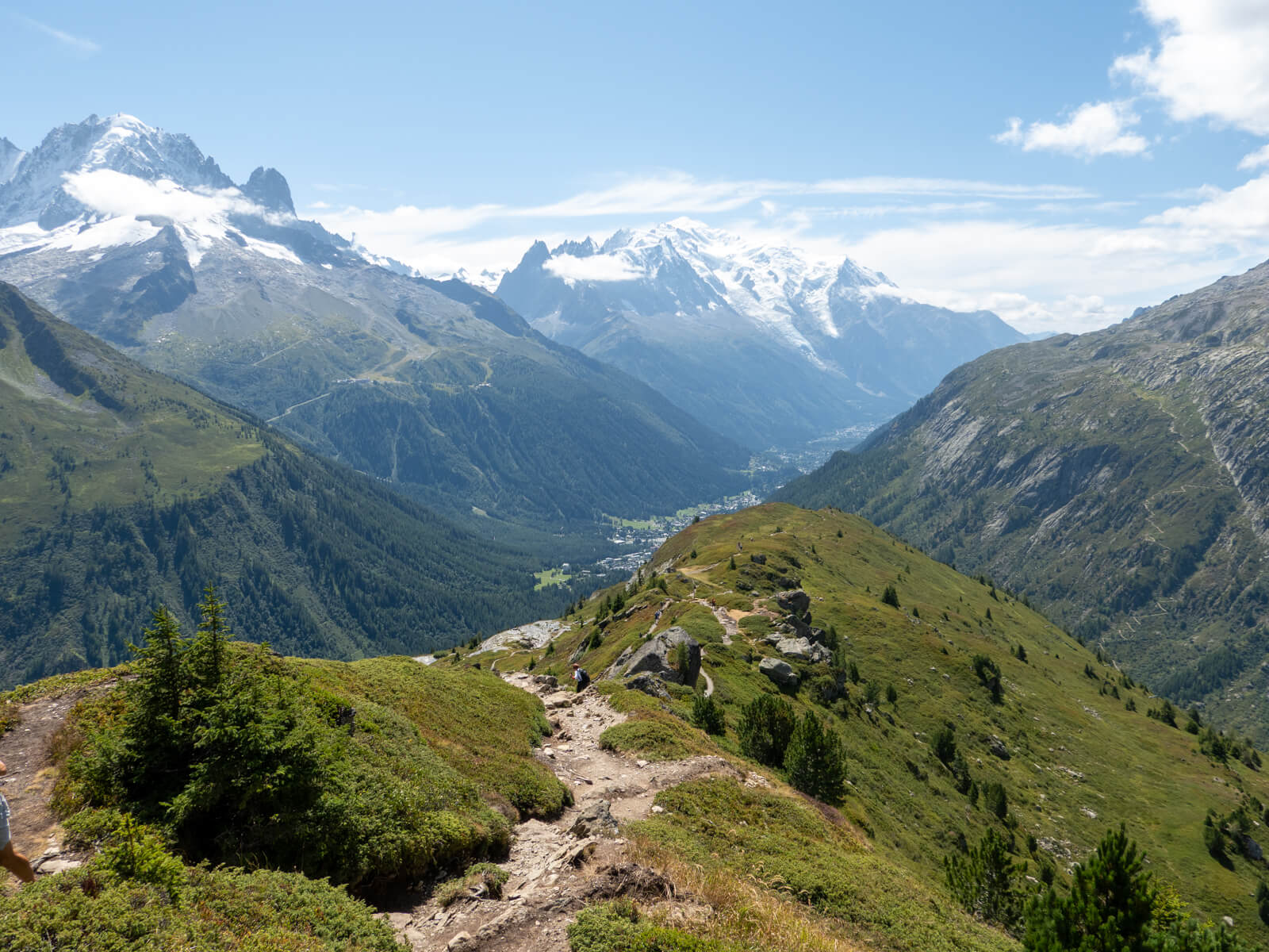
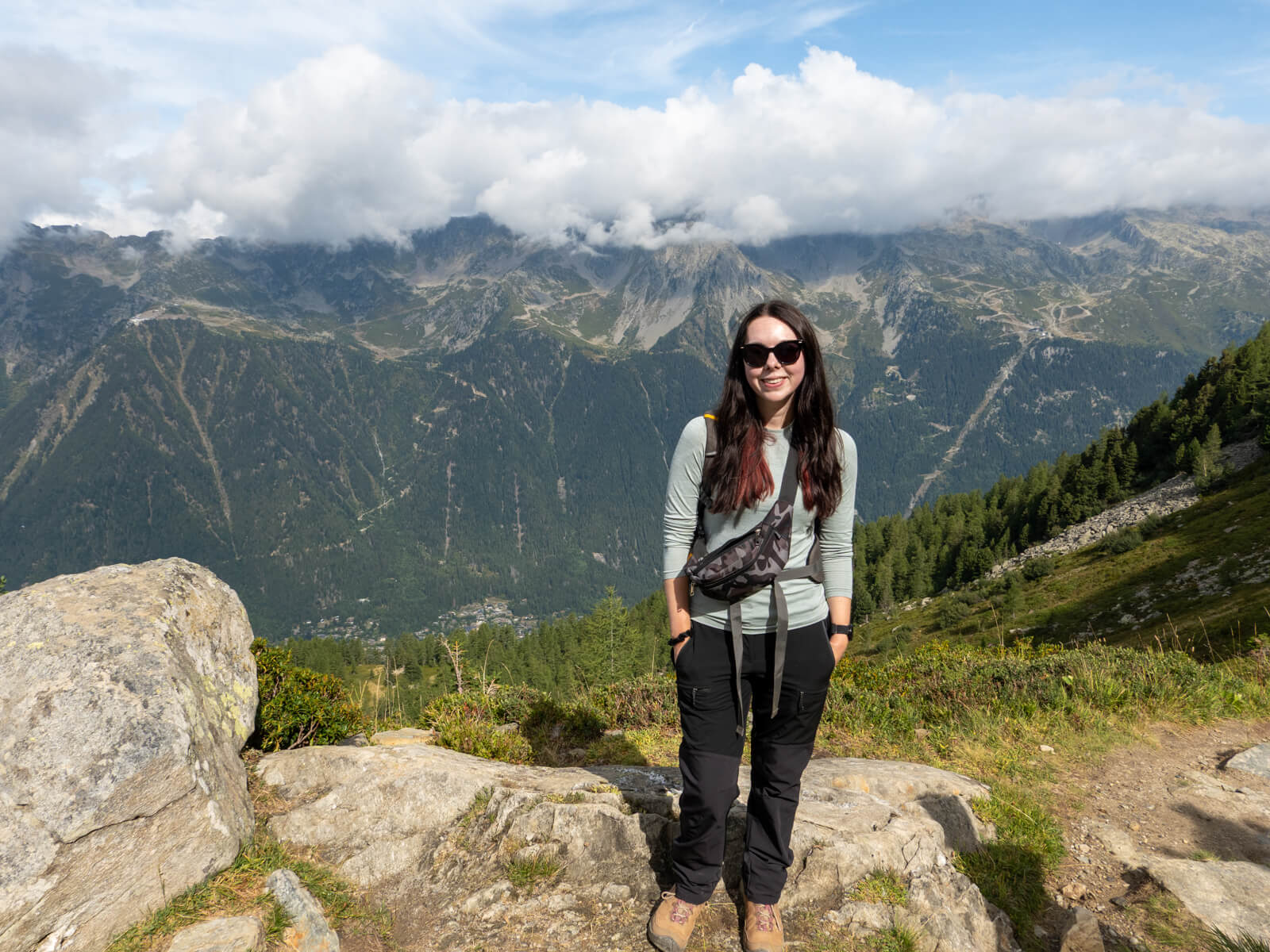
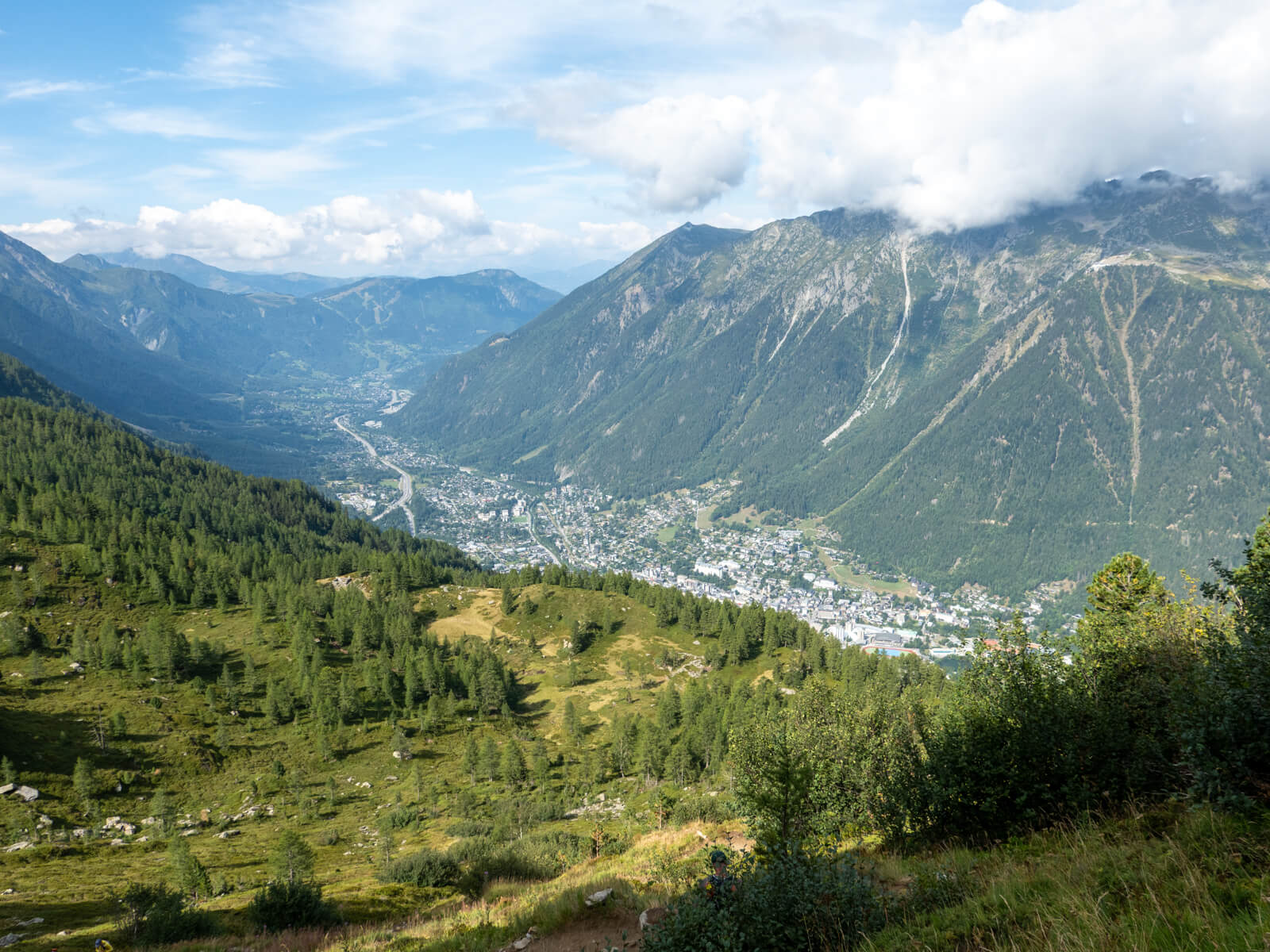
The Grand Balcon Nord is one of Chamonix’s most scenic hikes, following a rocky trail beneath the towering Aiguilles de Chamonix before finishing above the Mer de Glace glacier.
The route starts at Plan de l’Aiguille, reached by the Aiguille du Midi cable car, and traverses the mountainside towards Montenvers. Along the way, you’ll pass the lovely Refuge du Plan de l’Aiguille, walk beneath some incredible rock formations, and eventually reach Signal Forbes, a viewpoint from where you’ll get simply fantastic views.
This 7km hike is a little rougher underfoot than some of Chamonix’s more famous walks, but if you’re comfortable walking at altitude and want something that feels slightly more rugged, the Grand Balcon Nord is a brilliant half-day option. It’s one of my favourites in the area!
Grand Balcon Nord hike at a glance
| Start | Plan de l’Aiguille cable car station |
| End | Montenvers train station |
| Distance | 6.9 km |
| Elevation gain | 168 metres |
| Time | 2.5–3 hours |
| Difficulty | Moderate |
| Route | Point-to-point |
| Highest point | Approximately 2,310 metres |
| Transport required | Aiguille du Midi cable car and Montenvers train |
| Best time to hike | July to September |
Note: Despite its name, the Grand Balcon Nord is on the southern side of the Chamonix valley. The ‘Nord’ refers to the direction the trail faces, not its location.
Grand Balcon Nord hiking map
The Grand Balcon Nord is a well-established hiking route, with signposts at the main junctions, so navigation is quite easy. You’ll essentially just want to follow signs to Montenvers the entire way. I’d still recommend downloading an offline map before setting off, though, just in case.
How to get to the Grand Balcon Nord trailhead
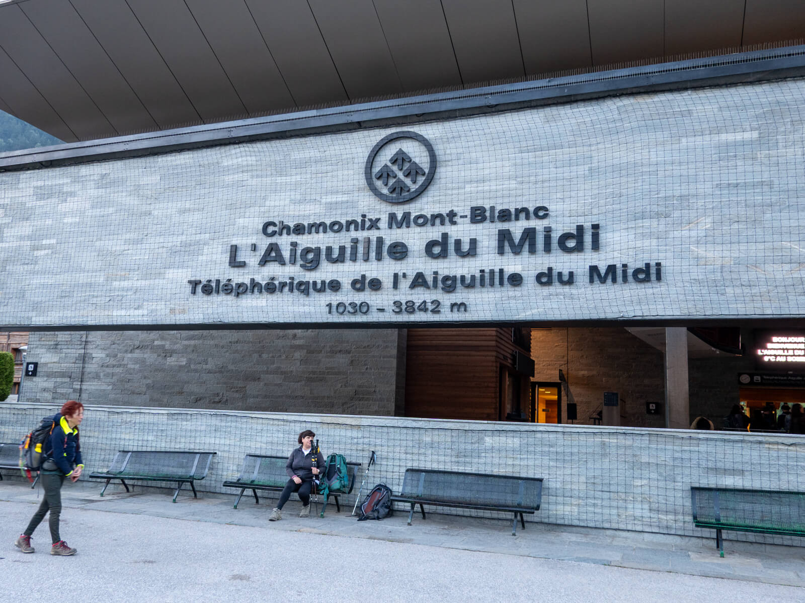
To start the Grand Balcon Nord hike, you’ll need to take the Aiguille du Midi cable car from Chamonix town centre.
The cable car travels up the mountainside in two stages. The first stage takes you to Plan de l’Aiguille, which is where the hike begins. The second stage takes you all the way up to the Aiguille du Midi summit. So you’ll want to get off at the first stop.
Of course, you can also do what I did: ride the cable car all the way to the Aiguille du Midi summit, explore the viewing terraces and exhibits up there, and then get the cable car back down, getting off at Plan de l’Aiguille to hike the Grand Balcon Nord. This made for a really enjoyable day out — Aiguille du Midi offers incredible views across to Mont Blanc and is the closest you can get to it without climbing.
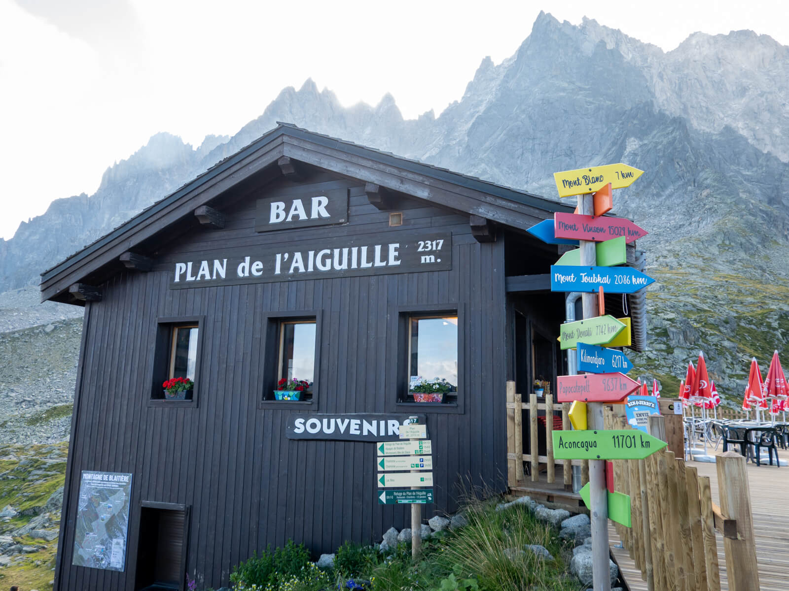
Once you’re at Plan de l’Aiguille to start the Grand Balcon Nord, you can find the trailhead right next to the cafe outside. There are signposts right by the cafe pointing the way to Montenvers.
🎟️ Check the Aiguille du Midi opening times.
How much does the Grand Balcon Nord hike cost?
The hike itself is free, but you’ll need to pay for the cable car and train.
As of summer 2026, the dedicated Balcon Nord hiking ticket costs €48.40 per adult, covering the Plan de l’Aiguille cable car journey and the Montenvers train. A combined ticket including the Mer de Glace gondola and ice cave visit costs €68.40. A little pricey, unfortunately. If you’re planning to visit the Aiguille du Midi summit as well, you’ll need a ticket that covers the full ascent rather than just the Plan de l’Aiguille section.
If you’ll be spending several days hiking around Chamonix, I really recommend getting the Mont Blanc MultiPass. This covers all the gondolas and cable cars, including Aiguille du Midi, the Montenvers train, the Mer de Glace, local buses around Chamonix, and more. This can work out to be much better value.
Grand Balcon Nord: Step-by-step hiking route
1. Plan de l’Aiguille to Refuge du Plan de l’Aiguille
From the cafe just outside the Plan de l’Aiguille cable car station, follow the signs towards Montenvers.
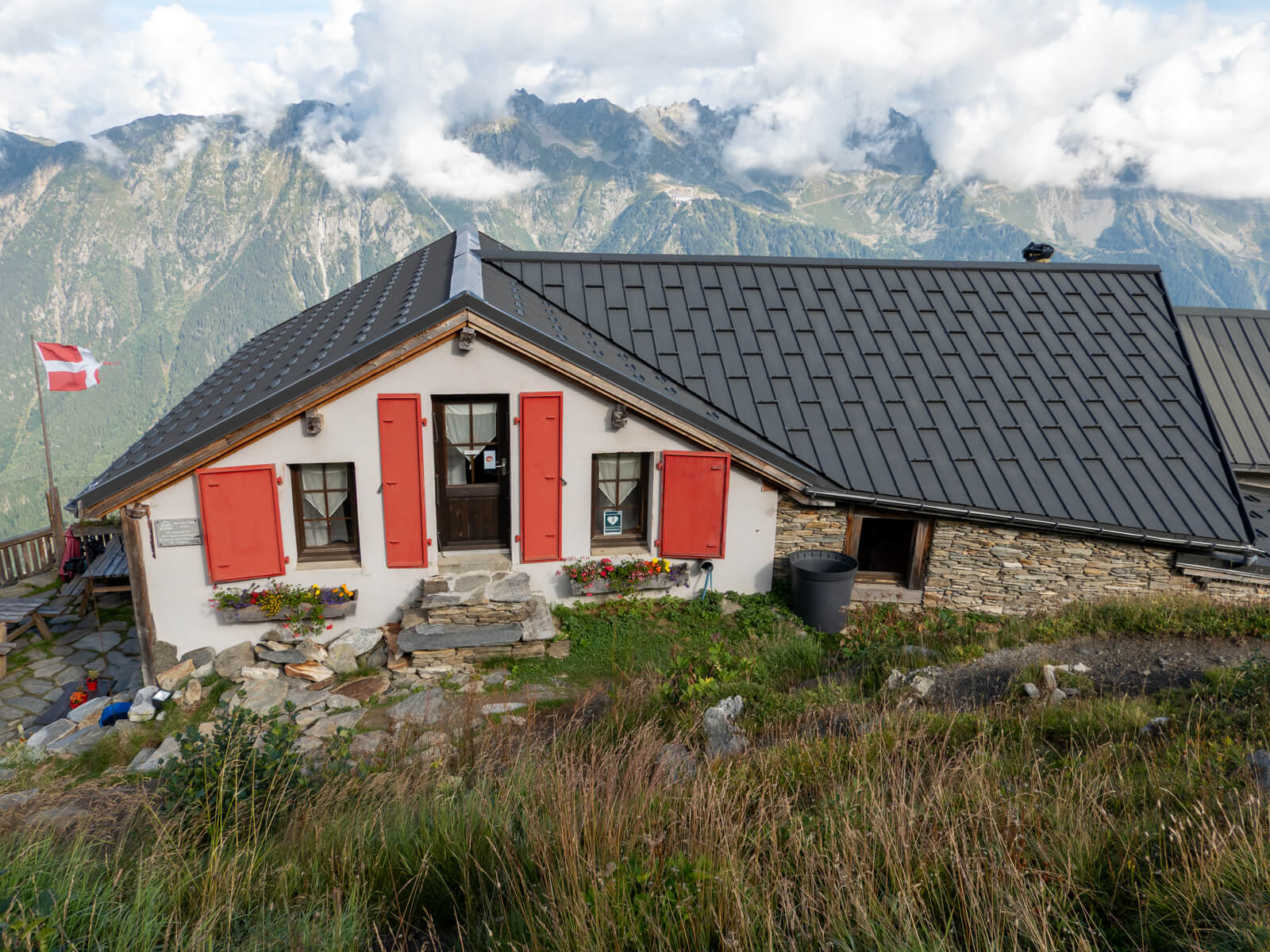
The path initially descends across the mountainside towards Refuge du Plan de l’Aiguille, which is a really scenic refuge, sitting in a beautiful position beneath the surrounding peaks. I couldn’t resist stopping here for a quick coffee before continuing.
From the refuge, continue following the signs towards Montenvers, making sure you take the traversing trail rather than one of the paths descending towards Chamonix.
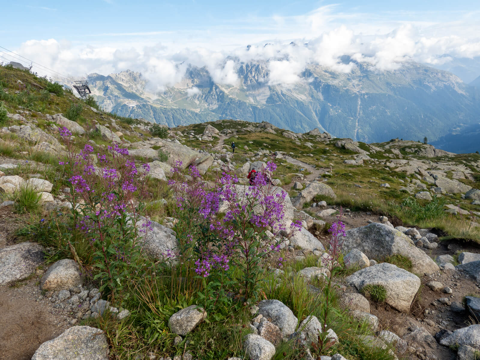
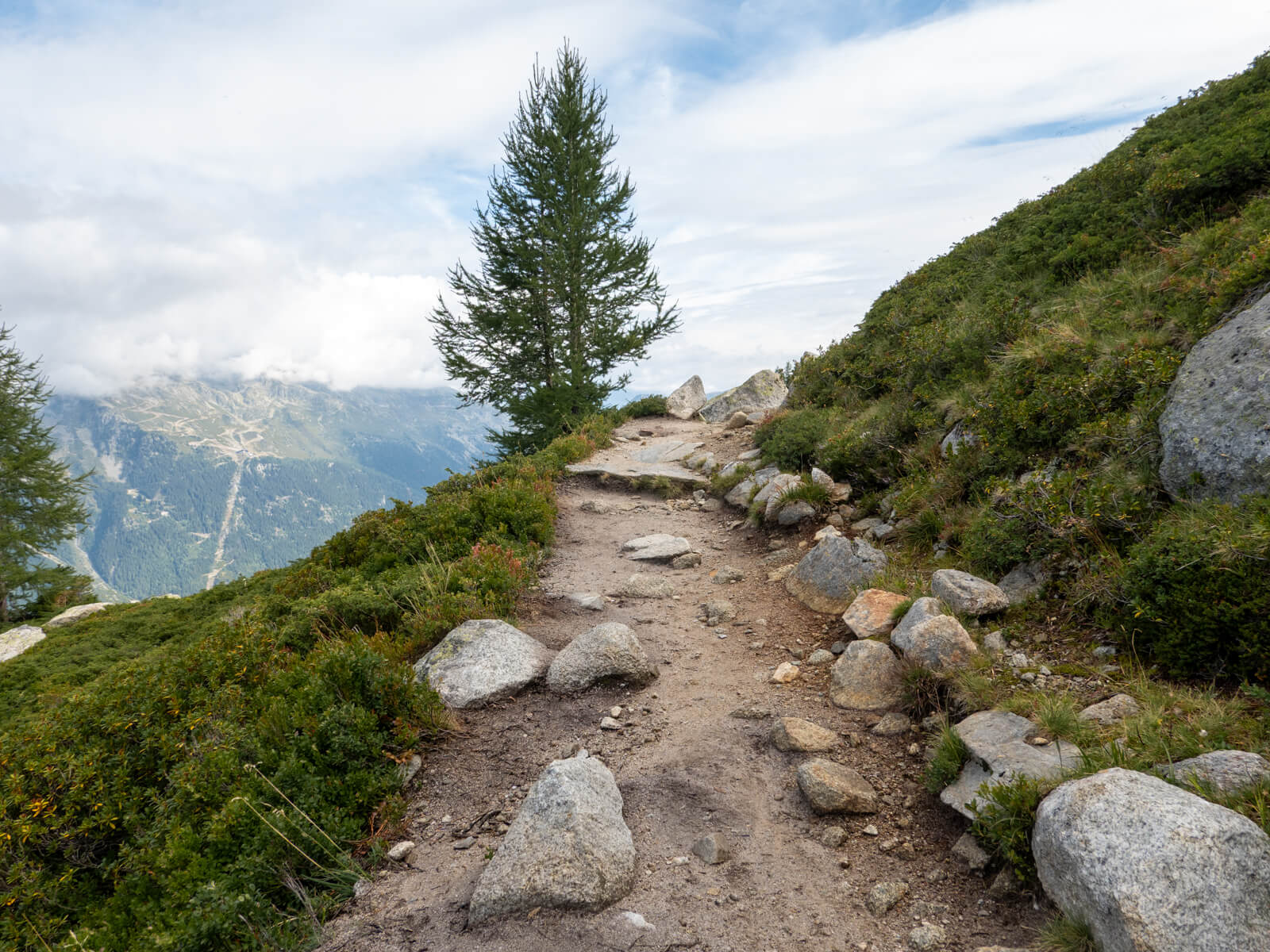
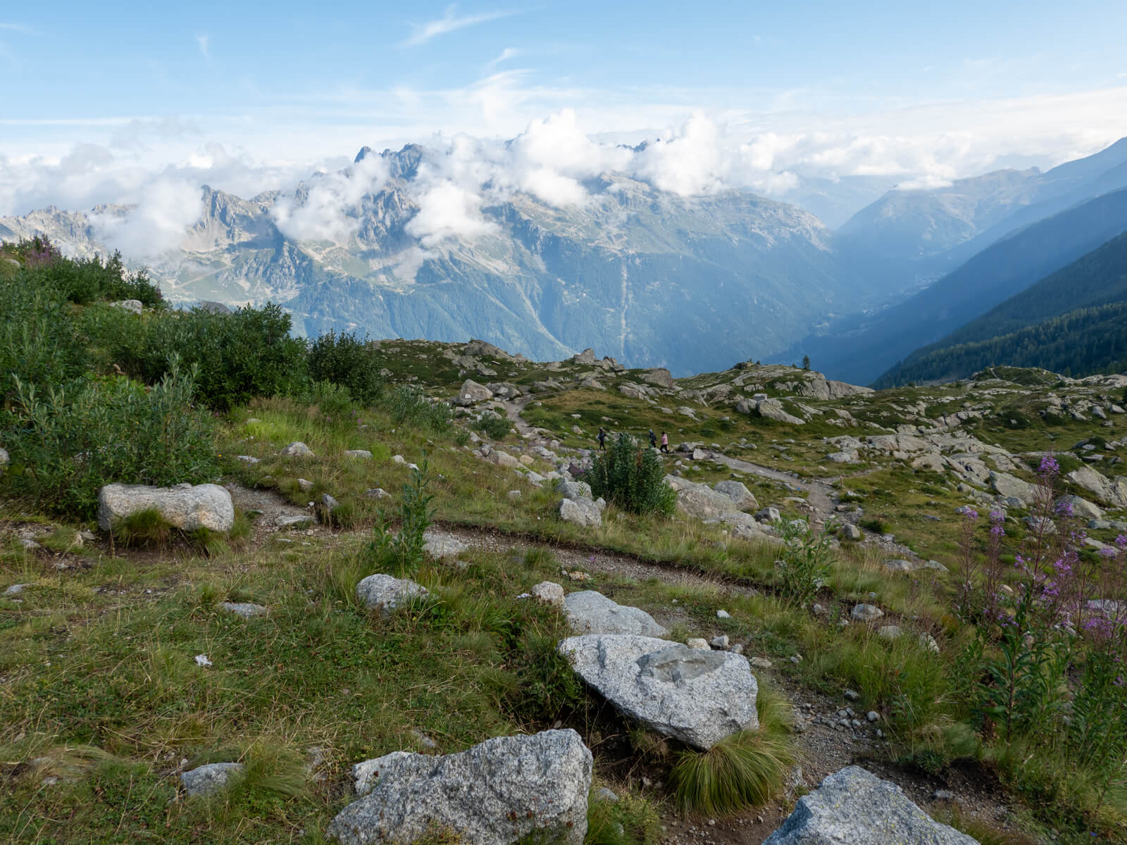
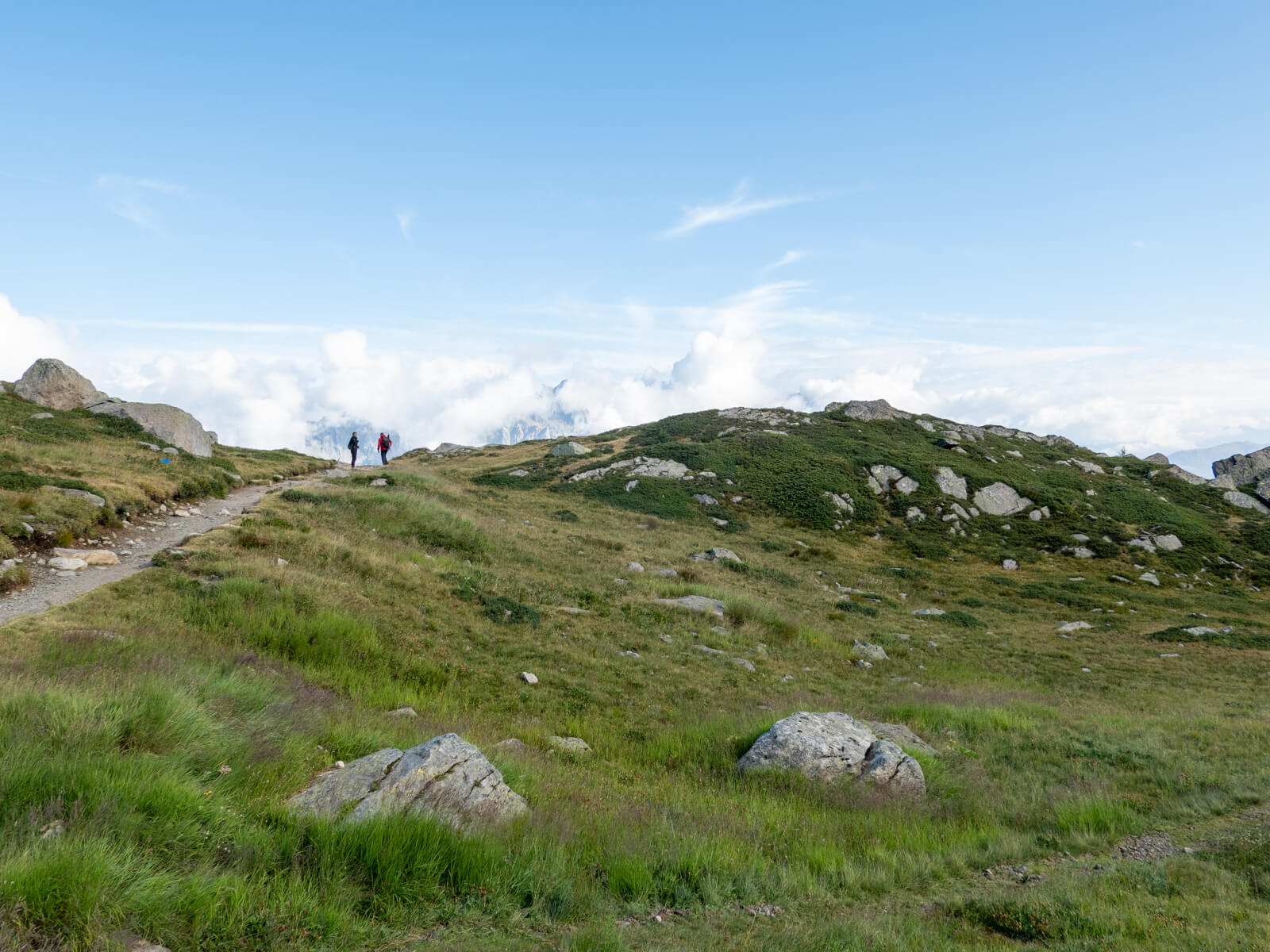
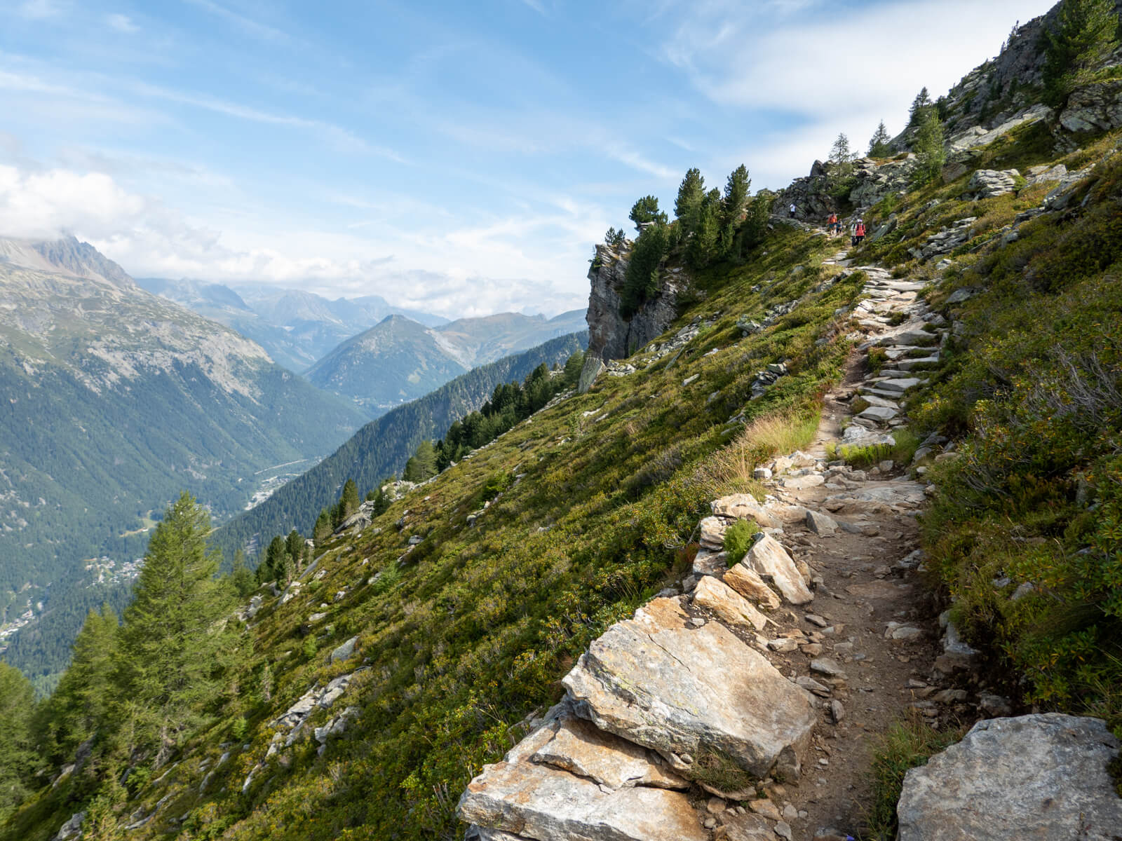
The path soon begins crossing open alpine terrain beneath the Aiguilles de Chamonix, with the surrounding rock faces becoming increasingly prominent as you walk.
2. Refuge du Plan de l’Aiguille towards Signal Forbes
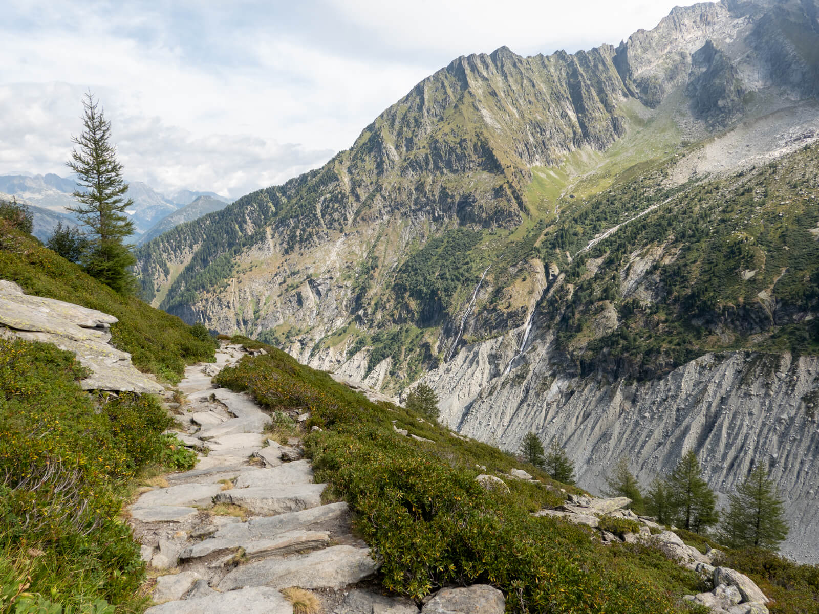
The trail traverses grassy and rocky slopes, crossing several small streams and passing beneath the moraines of the Blaitière and Nantillons glaciers. It’s a particularly scenic stretch, with views back towards Mont Blanc and Aiguille du Midi, as well as across the valley towards the Aiguilles Rouges.
About half an hour after leaving the refuge, two marmots ran across the path in front of me! This was lovely to see.
Although the route doesn’t involve much elevation gain overall, the terrain is quite uneven. There are loose stones and rocky sections where you’ll need to watch your footing, particularly if the ground is wet. I have to confess I slipped and landed on my backside on one occasion.
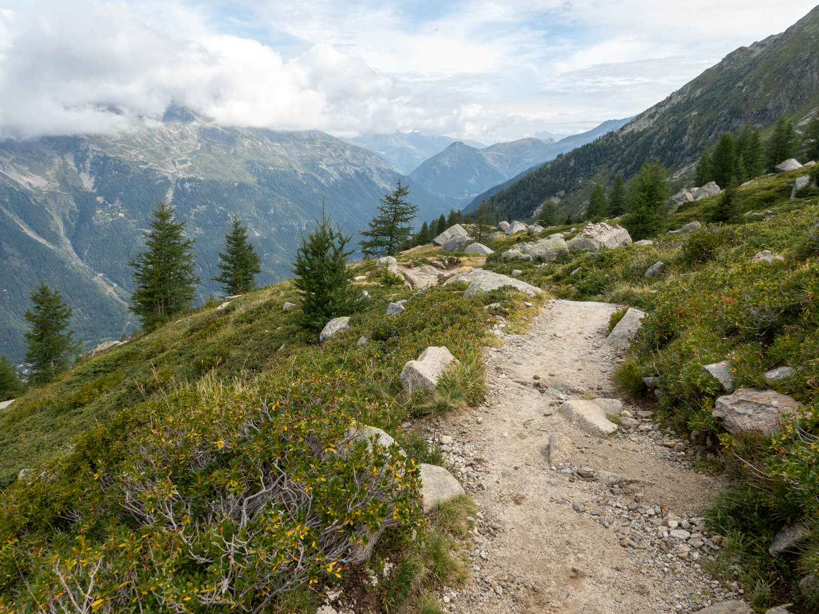
As you continue, the landscape gradually becomes rockier, with large areas of loose stone beneath the surrounding peaks.
Eventually, you’ll reach a junction where the trail splits. The left-hand path is a steeper shortcut towards Montenvers, while the right-hand path climbs towards Signal Forbes.
Take the right-hand route. It will climb up towards Signal Forbes via a series of switchbacks.
3. Signal Forbes viewpoint
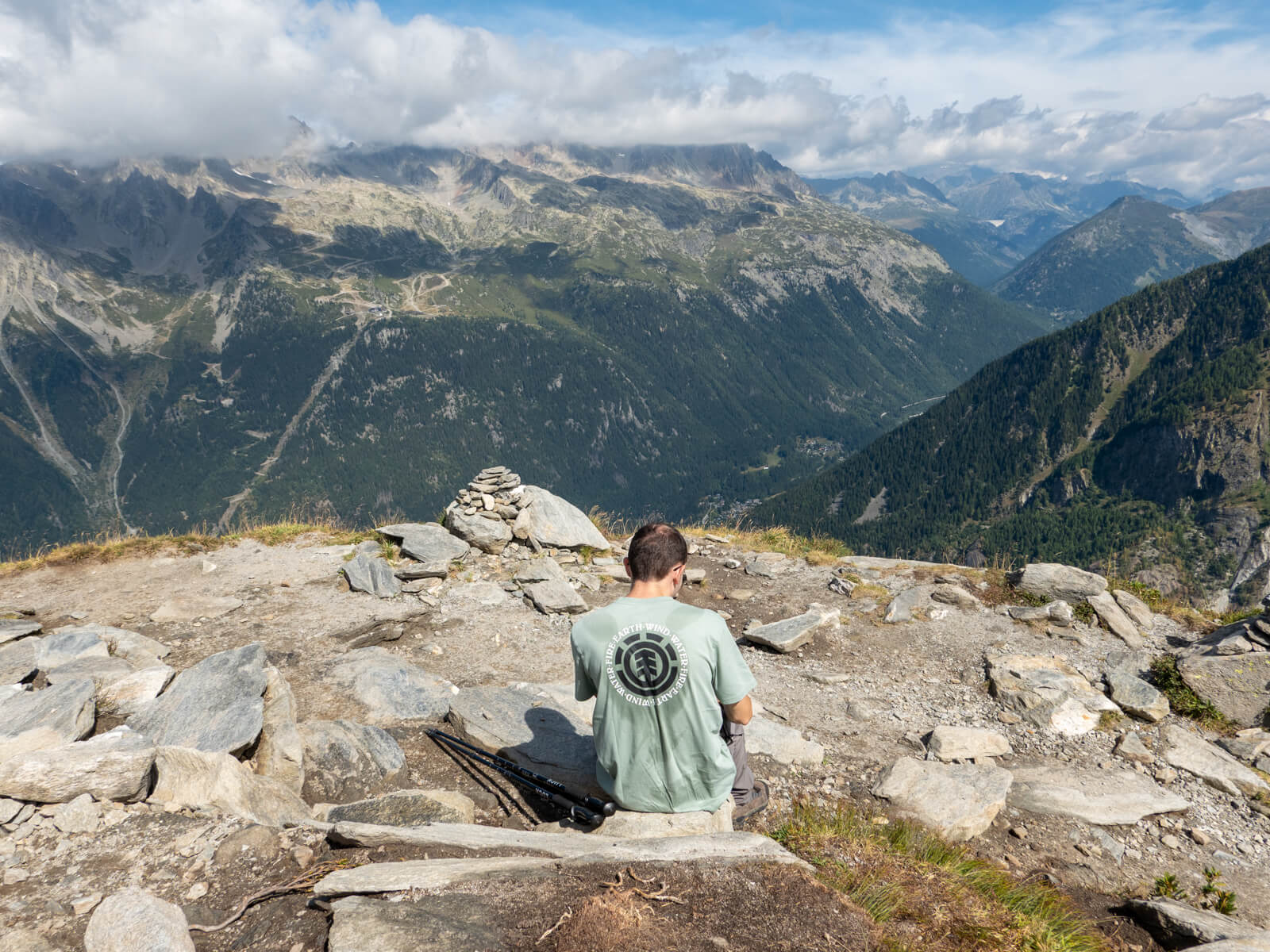
Signal Forbes, also known as Le Signal, is the main viewpoint on the Grand Balcon Nord, sitting at approximately 2,198 metres.
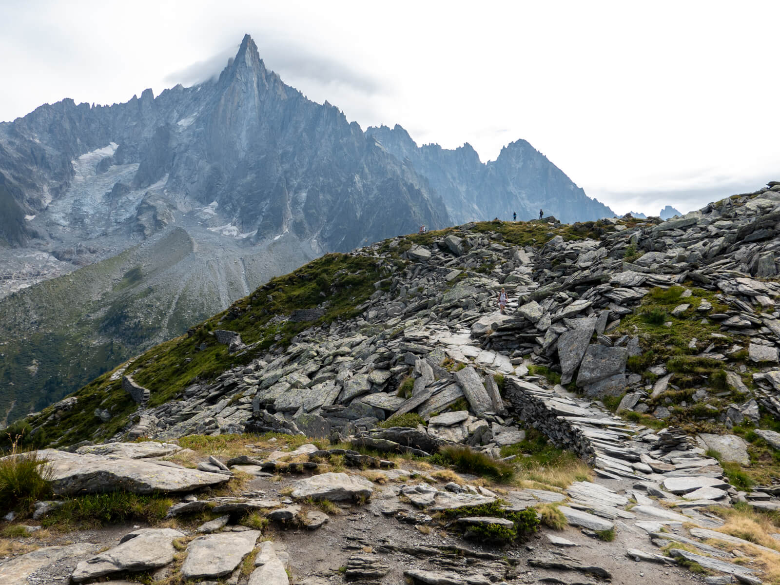
As you approach, the landscape changes considerably. The grassy mountainside gives way to rocky terrain, with huge piles of loose stone and some particularly dramatic peaks rising above the trail.
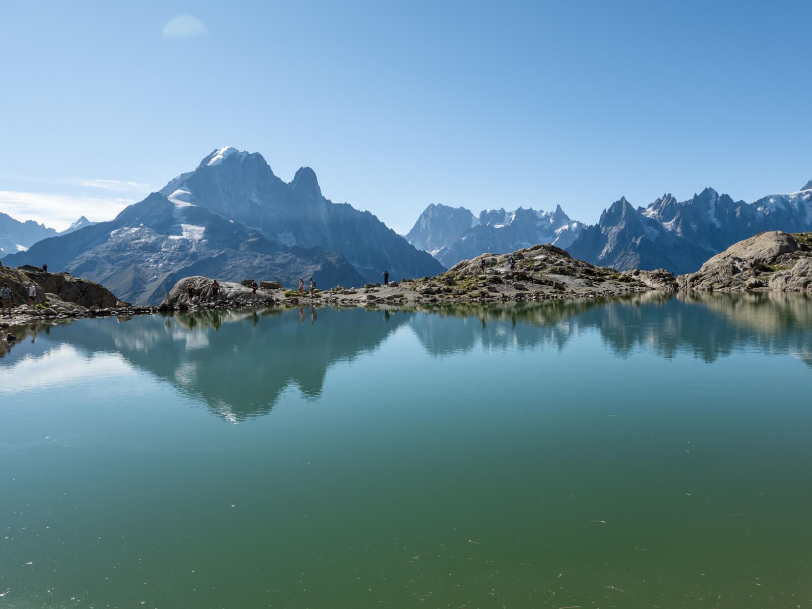
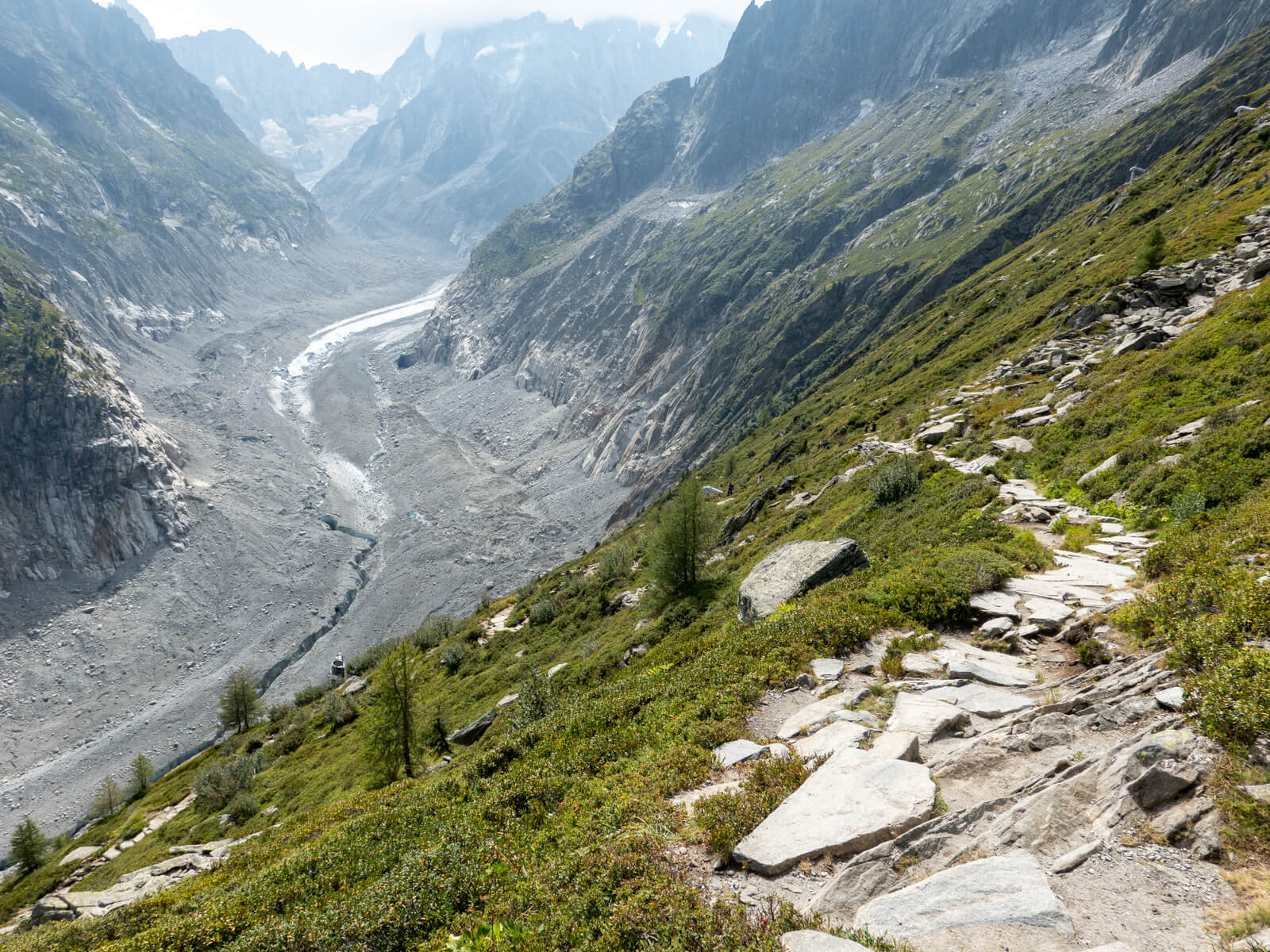
From the viewpoint, you can look directly across the Mer de Glace, with Les Drus, the Aiguille Verte, and the Grandes Jorasses forming an incredible backdrop.
The Mer de Glace is France’s largest glacier, flowing down from the Mont Blanc Massif towards Montenvers. It’s honestly not as impressive as it sounds, but it’s still quite interesting to see.
I thought here was an ideal spot to have lunch.
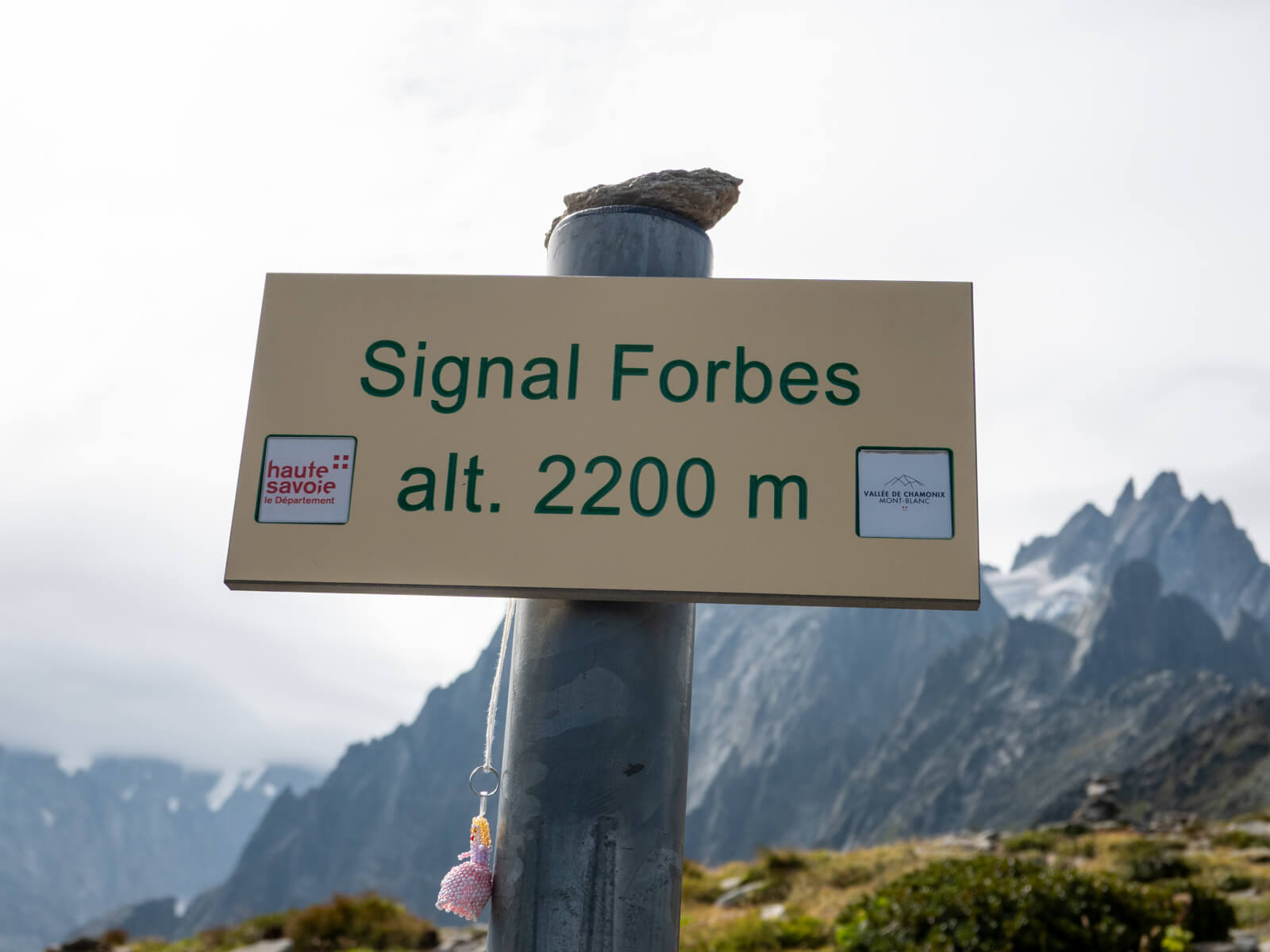
4. Signal Forbes to Montenvers
From Signal Forbes, follow the signposted trail downhill towards Montenvers.
All the uphill is now behind you, as the path descends across rocky terrain in a series of switchbacks, with the Mer de Glace and surrounding mountains visible as you lose height.
This section is steeper than much of the earlier route, and the loose stones can make the descent a little awkward in places. I’d take your time, particularly if the trail is damp.
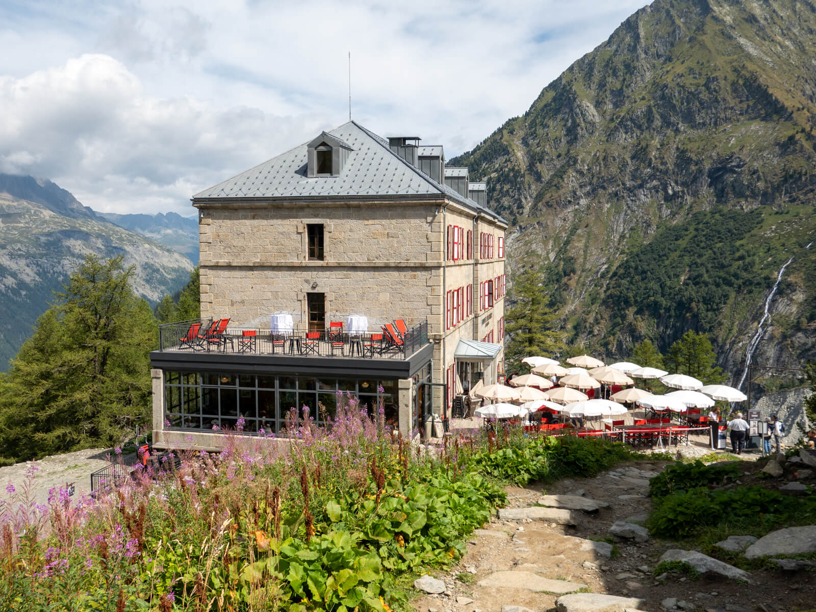
As you approach Montenvers, you’ll start to see the buildings and train station below.
There’s a historic mountain hotel, restaurants, and a viewing area overlooking the glacier, as well as a gondola providing access to the Mer de Glace ice cave.
I’ll provide some more information on the Mer de Glace below, but in a nutshell, it’s an ice cave that you can walk through. It sounds really cool on paper, but I found it to be really quite underwhelming.
Once you’re done exploring around Montenvers / Mer de Glace, you can head to the train station and take the red cogwheel train back to Chamonix.
Taking the Montenvers train back to Chamonix
The easiest way to return to Chamonix after hiking the Grand Balcon Nord is to take the Montenvers cogwheel train.
The distinctive red train has been operating since 1909 and travels between Montenvers and Chamonix, descending almost 900 metres through forest and along the mountainside.
The journey takes approximately 20 minutes, and I thought it was quite fun. It’s also a welcome alternative to another long descent on foot after spending several hours hiking!
The train leaves from Montenvers station, close to where the Grand Balcon Nord trail finishes. It arrives at the Montenvers railway station in Chamonix, a short walk from the town centre.
If you’d prefer not to take the train, there is also a 5km hiking trail that descends from Montenvers towards Chamonix.
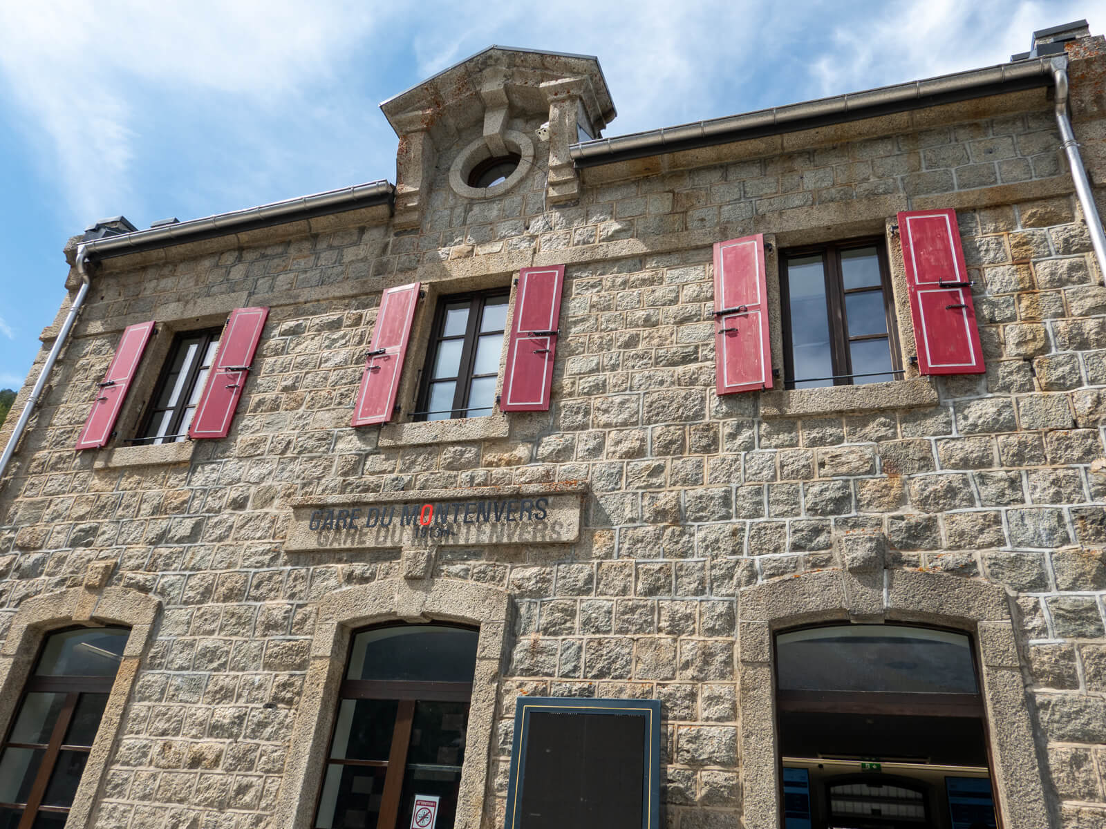
🚂 You can find the latest timetable on the official Montenvers train website.
Visiting the Mer de Glace ice cave
Once you reach Montenvers, you can visit the famous Mer de Glace ice cave, also known as the Grotte de Glace. This is one of Chamonix’s biggest attractions, and the ice cave gives you the opportunity to walk inside the glacier itself.
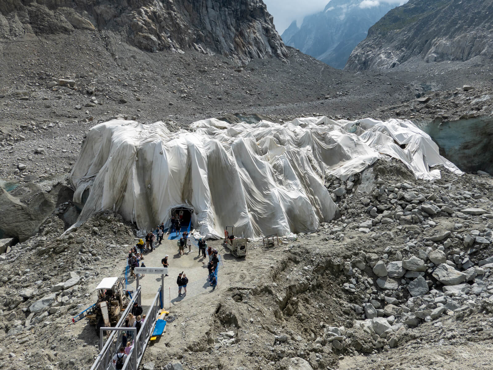
From Montenvers, take the Mer de Glace gondola down towards the glacier, then you’ll need to walk about 170 steps down further to reach the cave entrance.
Inside, you’ll find a series of tunnels carved into the ice, with blue ice walls and sculptures. The cave is maintained and recut as the glacier changes, so its appearance can vary between visits.
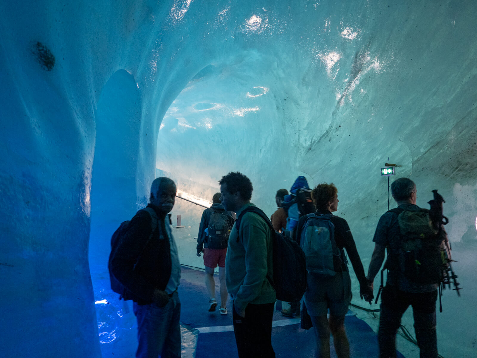
The attraction also provides a fairly striking reminder of how much the Mer de Glace has retreated over time. You can see the difference in the glacier’s former height as you descend towards the cave. It was quite sad to see how impressive it probably was before it retreated so much.
Honestly, though, I found the ice cave pretty underwhelming. It was quite busy, and I felt that we were just ushered along an icy tunnel.
If you have a Mont Blanc MultiPass, then Mer de Glace is included in your pass. I’d say it’s worth having a look while you’re already at Montenvers. However, if you don’t have the pass and would need to pay extra for the gondola and ice cave, I personally wouldn’t bother.
Best time to hike the Grand Balcon Nord
The best time to hike the Grand Balcon Nord is during the summer and early autumn, when the trails are generally clear of snow.
That being said, because the trail reaches elevations above 2,000 metres, snow can remain on some sections well into early summer. The rockier areas around Signal Forbes and the steeper shortcut towards Montenvers are particularly worth being careful on if snow or ice is present.
I’d also avoid this route during thunderstorms, strong winds, or poor visibility. Much of the trail is exposed, with very little shelter along the mountainside.
For current conditions, you can check with the Chamonix High Mountain Office before setting off.
How difficult is the Grand Balcon Nord hike?
I’d rate the Grand Balcon Nord as moderate, mainly because of the rocky terrain rather than the amount of climbing.
The route is relatively short, and because you start at Plan de l’Aiguille and finish lower down at Montenvers, there’s more descending than ascending overall.
However, the path is uneven in places, with loose rocks, small stream crossings, and some exposed sections along the mountainside. There’s also a sustained climb towards Signal Forbes, followed by a rocky descent into Montenvers.
You don’t need technical climbing skills, and as long as you’re reasonably fit and comfortable hiking on rocky terrain, I think it’s a very manageable route.
Thank you for reading! If you found this post useful, I’d be grateful if you would consider using the affiliate links below when planning your travels. I’ll make a small commission at no extra cost to you. This will help me to keep this blog running. Thanks for your support — Lauren.
Accommodation – Booking.com
Flights – Booking.com
Travel insurance – World Nomads
Excursions & tours – Viator
Outdoor gear – Decathlon
eSIMs – Airalo
Alternatively, you could buy me a coffee to say thanks!


About The Author
Lauren Pears is a freelance travel writer and blogger who writes about active adventure travel. She’s been blogging for almost 10 years, and has written for publications such as Lonely Planet, World Nomads, and Southeast Asia Backpacker.